


Please return and watch how this site develops, with many photos of the fantastic mountain and coastal scenery to be seen along the myriad of walks.
http://www.everytrail.com/fullscreen.php?trip_id=1380149
The above link is a very useful interactive map and graph showing elevations and distances in miles or kilometers (use the tool icon to convert from one to the other)
The map uses 4 tabs, Map, Satellite, Hybrid and Terrain.
The Hybrid tab is most useful for walkers. Any part of the map can be enlarged by using the zoom in function or by double clicking on the map. The stat graph can also be moved around or deleted if not wanted
The link covers the first 5 sections of the GR 51 which follow.
Brief overview of Section 1 Menton-Ste Agnes
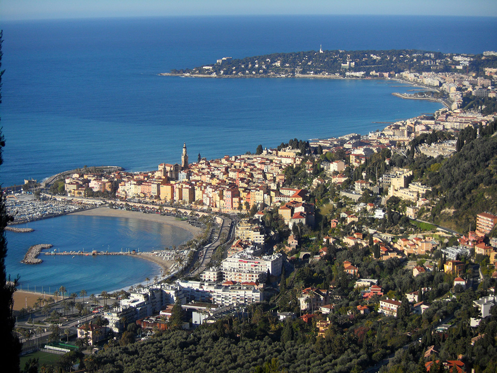
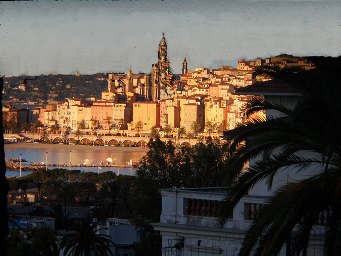
The GR from Menton starts on the GR 52, at the Menton Garavan Station, which is on the main line SNCF from Nice to Vingtmille in Italy.
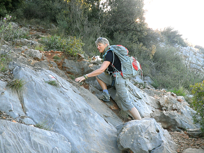
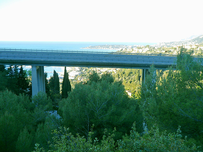
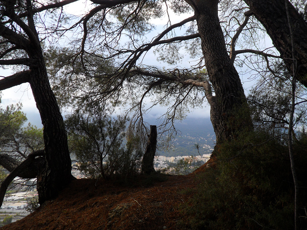
The GR rises in the first instance by flights of steps, then crossing under the Autorote 8 and continues to climb up on paths through pine trees.
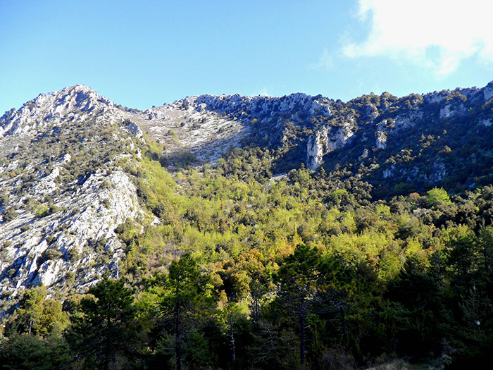
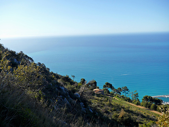
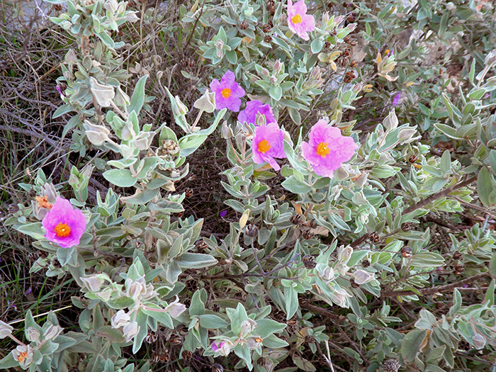
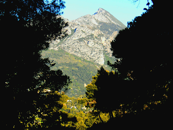
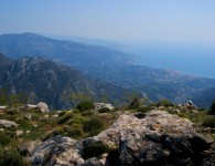
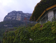
Finally the easy to follow, stone track rises above the tree line very close to the Italian border. The views throughout are quite breath taking in both senses of the word!
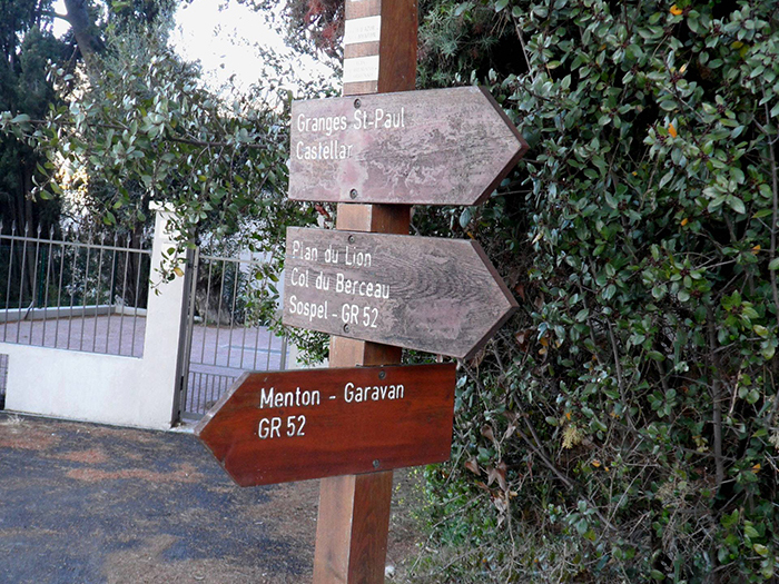
There is a short cut to the village of Castellar at this point at 446 meters on the St Paul plateau after coming out above the tree line.
If one wishes to continue on the GR 52 the way becomes easier, emerging onto the Plan de Lion at 716 meters.
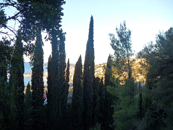
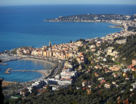
The superb views both east along the Italian Riviera and west along the French coastline are worth stopping and enjoying.
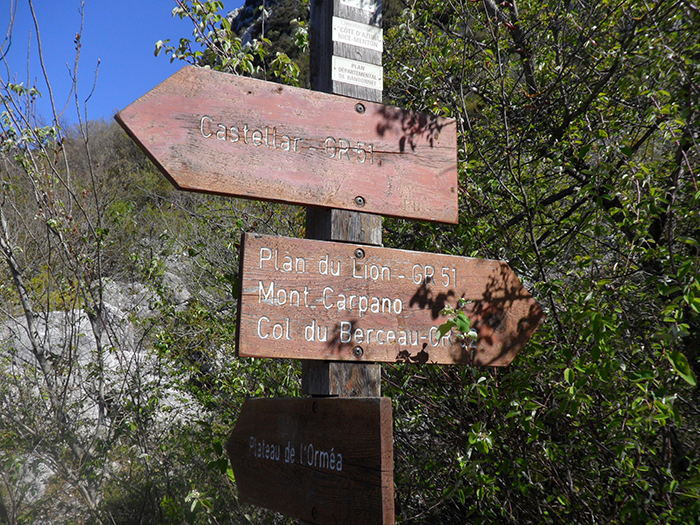
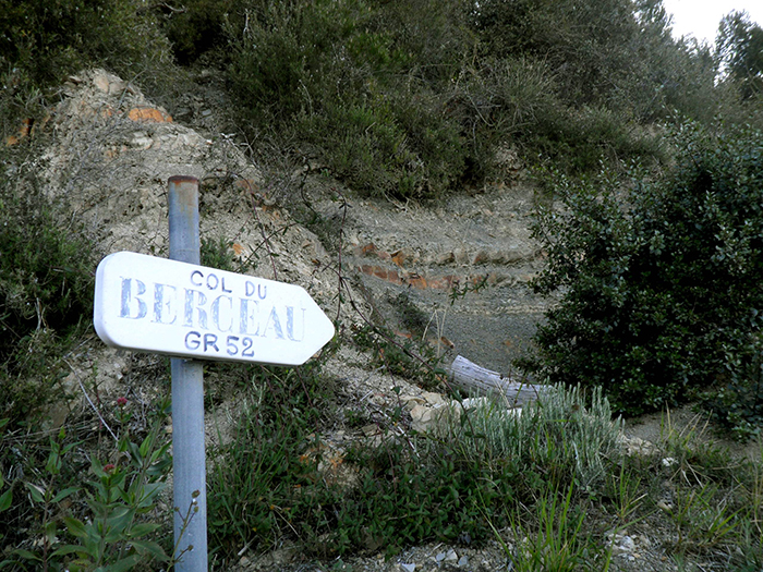
At the end of the level plateau, one arrives at the division of the GR 52 and GR 51. The GRs are marked on a stone below a waymarker. The GR 52 continues north towards Sospel.
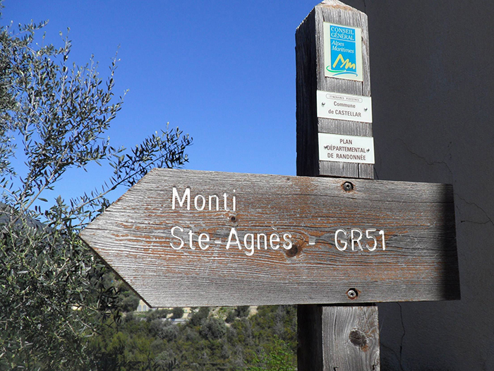
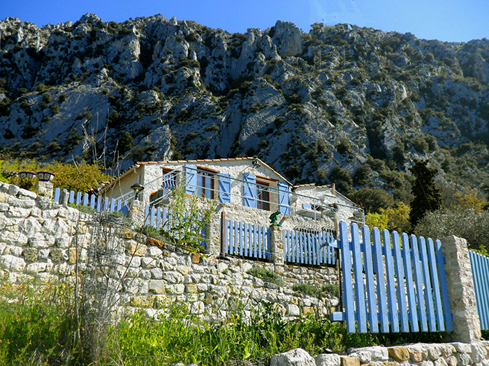
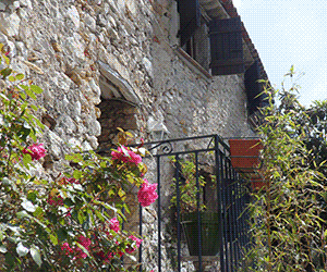
Branching sharp right on the GR 51 it begins to descend over a rock fall and down towards Castellar. After the village the way is a charming woodland path following a contour towards the hamlet of Monti. However the signing is not good along this stretch. Home made signs, some of which you may have to look ‘backwards’ to see them.
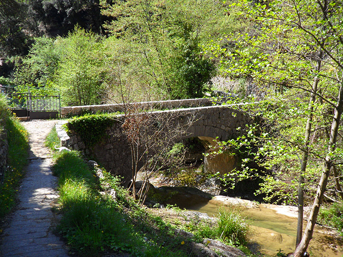
Continuing across a ancient bridge, past water mills, through lemon groves, then rising up to the hamlet. One crosses the road infront of the church, through the bus shelter, well marked.
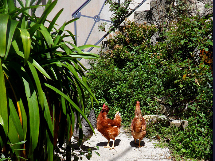
Rising again through back streets and pretty courtyards, out into the fold of the mountain and ever rising towards the Borrigo waterfall. The views of the coast have fallen way below.
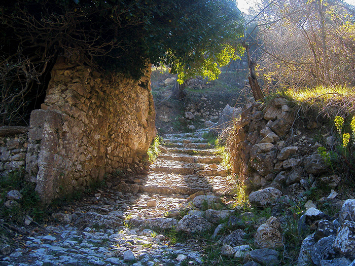
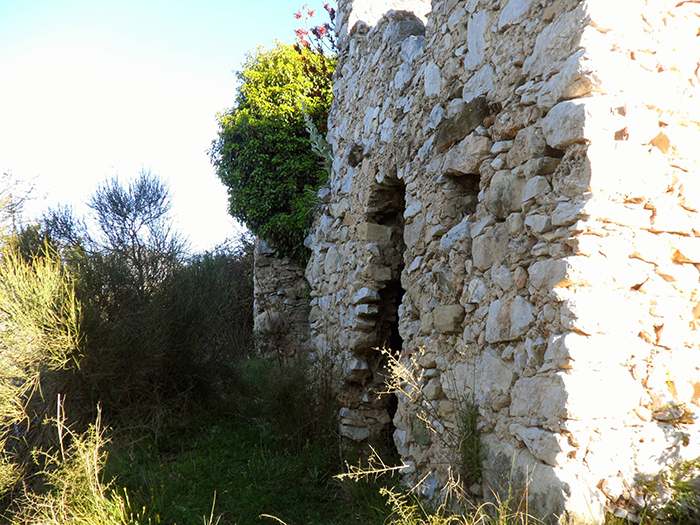
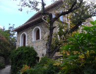
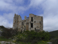
Following the path along the terraces of the abandoned village of Virette with the remains of the ruins still very apparent a local PR path enters from the left. Turn right, ascending on lovely old cobbled steps and into the final valley across a stream.
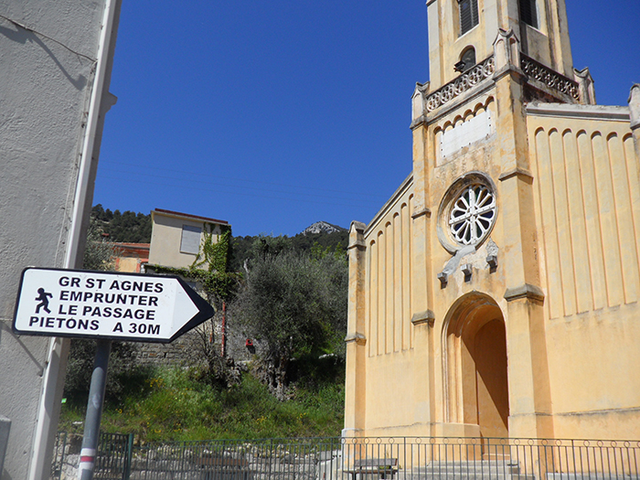
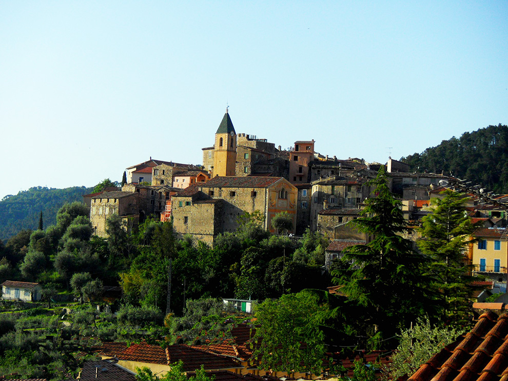
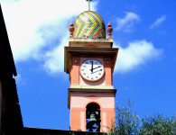
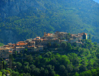
Looking up at this point one can just see the steeple of Ste Agnes church. The village beckons you on and gives you ‘bon courage’ to climb the last hill. One enters into the village on the old cobbled road where accommodation and restaurants await you.


No comments