
Brief overview of Section 4 Cantaron-La Manda
Outside of the Cantaron Station, turn left, then first left again, follow this street then you will see the path on your left.
There is a green sign saying Les Balcons de la Cote d’Azur and another signing that this is one of the very long distance routes on the European Route network.
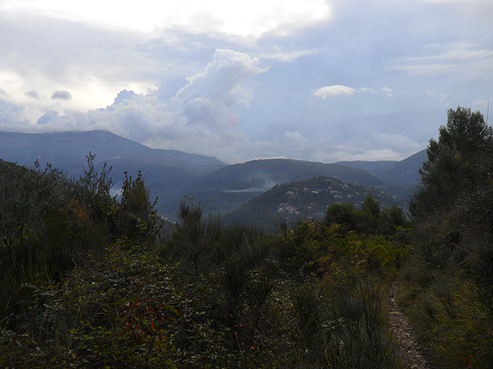
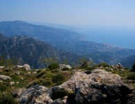
The path starts to climb steeply. The village of Tourettes-Levens is signed as being 2hrs30 away. The path ascends through pine forest, giving a lovely view over the distances behind.
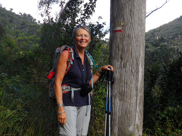
It is an easy path to follow, there are no other routes branching off it. Passing 3 magnificent Cypresses, one with the GR sign painted on it.
At this point one is almost above the tree line and looking up one can see the tiny hamlet of Bordinas.
The path goes through some very pretty houses before one reaches the way marker. A road comes in from the left. Carry straight on and one comes out on a small level part. There are 2 way markers, follow the direction on the second one signed towards Tourettes-Levens. One passes a green barrier and a house with many barking dogs. Turn left along a gravel road.
Not long after, watch out for a way marker directing the GR 51 down right. The road continues towards Camp Soubran.
The path twists and turns down through reeds towards the stream at the bottom. Continue until you can cross the stream on the right. The path continues along the side of the hill swinging right, one can see Les Moulins below.
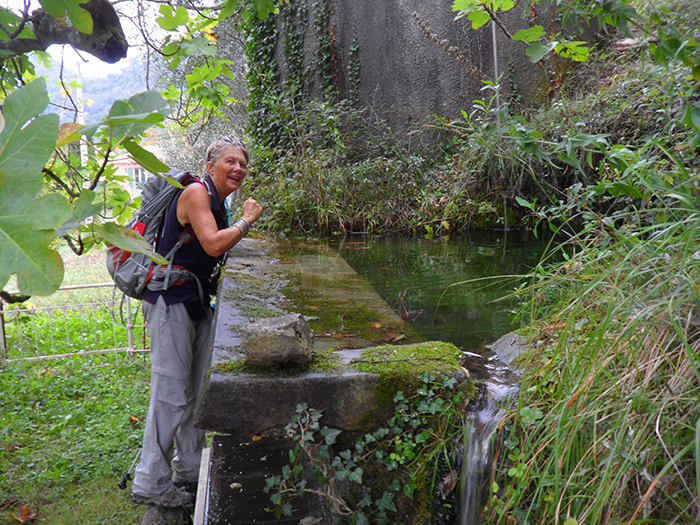
The path goes on downhill, passing over another stream, and just outside Tra la Torre there is a wonderful water trough on the right, crystal clear cool water, take advantage of filling up here.
Very soon afterwards the path comes out on a road, turn right.
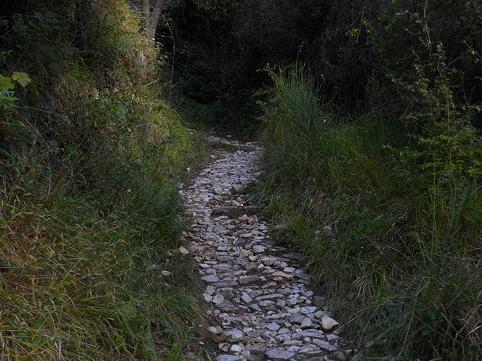
Continue along, over a bridge and then there is a wide stone path leading upwards and signed on the left. Take it. This is a very old pilgrim route marked with the yellow cockle shell emblem on a blue background.
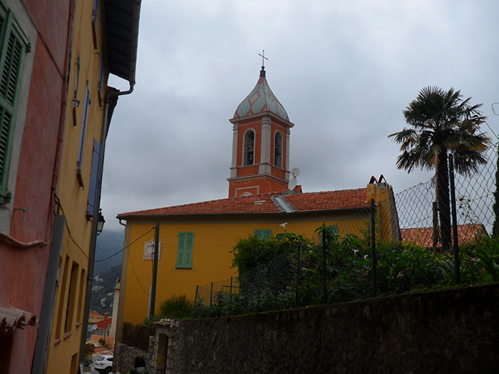
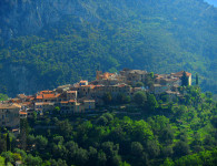
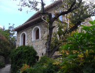
The stone path winds steeply up arriving under the town of Tourette Levens. You can see the old town walls high above. Eventually one enters the town through a narrow street, the Chemin de Colette, with a charming plaque above. Soon afterwards there is a Gite de France for overnight accommodation if needs be.
Continuing straight ahead the lane drops down past the church onto the main street.
To the right is a restaurant cafe, to the left and up the street is a bakery.
At the water fountain the GR 51 is way marked to Aspremont down a steep narrow street.
You cross over many narrow lanes, keep going downhill until you come out onto the D19. Cross over, and the path continues down passing another water trough coming out onto a small road.
Here the signing is poor, it looks like you should continue straight over and down…DON’T…..turn right on the road. There is another way marker further along. The road then comes to where you can see two bridges, the GR 51 path leads off to the left slowly ascending.
There is a short stretch that levels out past a large vegetable garden on the left, before climbing steeply again.
It enters some pine woods before finally coming up onto a wide gravel road. Both GRs 51 and 653A are running together here and continue until the end of this section.
Turn right and after quite a distance you come up onto the D719 that leads into Aspremont.
The GR 51 then goes off left onto a path and enters the town on a back lane. Be careful not to go left onto the GR 5 along this stretch. You cross over the D14 and take the path on the left that is called the Chemin de Valliere. This avoids the main road traffic going up into the town.
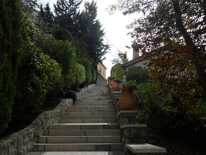
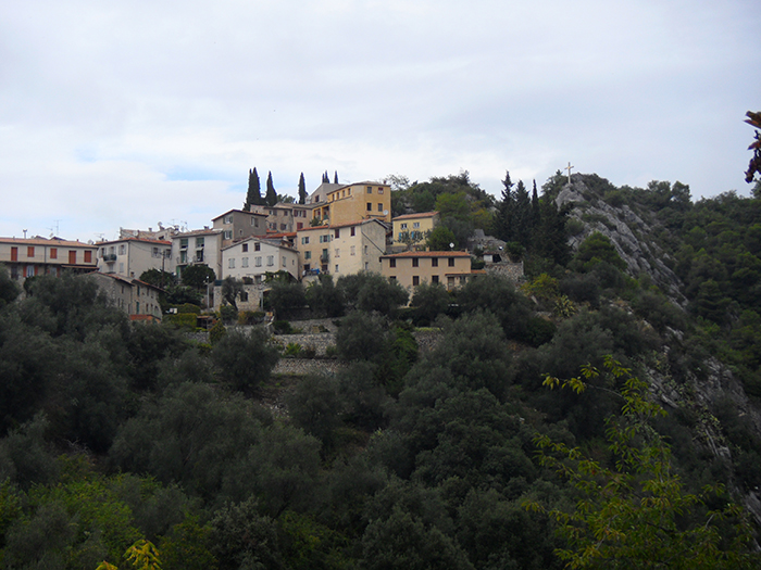
You come up into the town into a nice shady square, ahead is a steep flight of steps leading up into the medieval perched village.
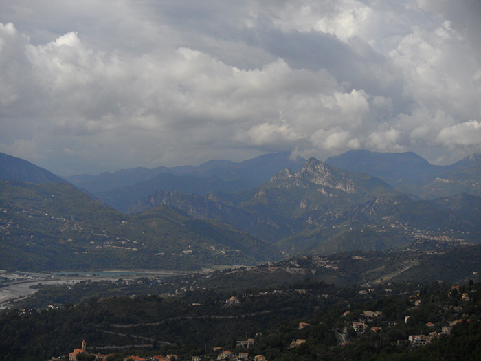
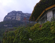
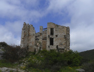
It is worth the extra effort to walk around the ramparts and up to the site of the chateau, which is no longer, but gives one an incredible view down to the River Var valley.
Retracing your steps down to the D 414, and turning left the GR 51 uses the road and small alternate routes on adjoining lanes to steadily descend into the valley.
Part of the GR 51 follows the old route of the Ancien Chemin de Colomars No2. It is worth while keeping your eyes open all the time as the route uses many small short cuts, both left and right off the main roads.
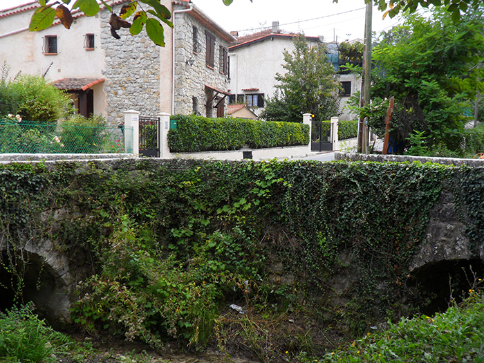
The way is well marked and there is a part that goes along a wonderful river pebble wall. At La Begude the road does a sharp turn right, follow the road until the town of Colomars.
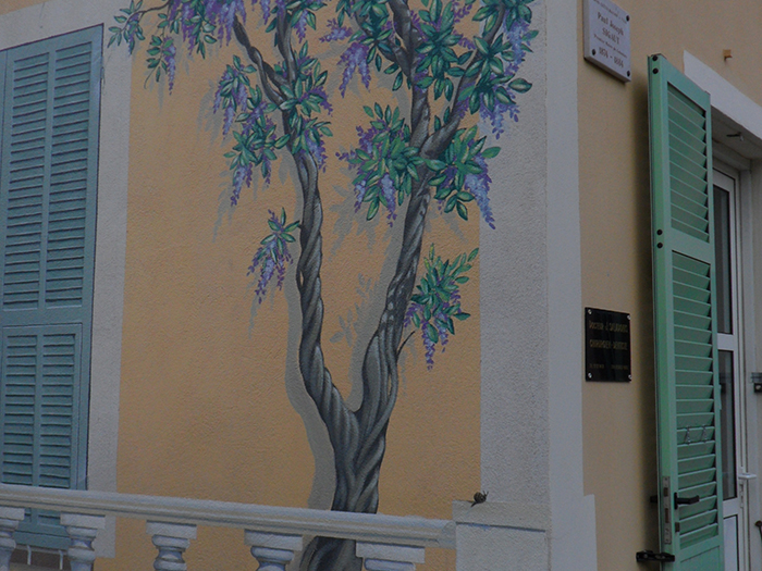
Look at the ‘trompe d’oeil’ painted on the yellow house on your left. Look for the wrought iron cross on your right and take the lane that runs down the right side of the cross.
Still going downwards, you will use the Raccourci ( meaning short cut) des Freghieres and the Chemin des Quatre Vents.
The tarmac path starts to rise then the GR 51 branches off right through some pines on a rocky and soft track descending very steeply all the way down to the tarmac lane at the bottom of the valley.
Turn right on the lane and follow it around as it leads towards the main D6202. Cross over and turn left before the bridge the Pont de la Manda.
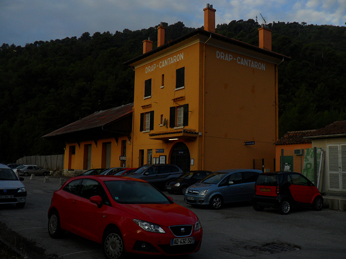
You will see the train and the small station ready to take you back to Nice.


No comments