Brief Overview of GR 51 Section 2 Ste Agnes-La Turbie
Leaving the village of Ste Agnes, one descends on the path that drops down through the valley just below, well marked off the D22. When faced with a fork, take the right hand and very soon one comes onto the D22, turn right up the tarmac road.
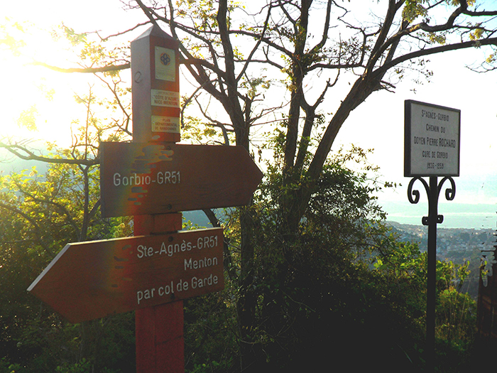
As one approaches a big right hand bend with huge old cypresses on the left, there is a path on the left with a metal sign which reads…Ste Agnes-Gorbio. Chemin du Doyen Pierre Rochard Cure de Gorbio 1936-1959. He was a priest who walked up this path to Ste Agnes carrying food for the elderly three times per week. This was before there was any road up the mountain.
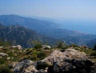
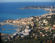
Take this path and it gently descends all the time, do not believe the blue painted sign on a low wall on the right! It is far longer than 250 meters! Once again the views are lovely both of the approach to Gorbio and the coast line.
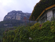
The path is easy to follow, as one descends the cliffs get higher on the right hand side. There are way markers for people wanting to do any rock climbing, called Site d’Escalade.
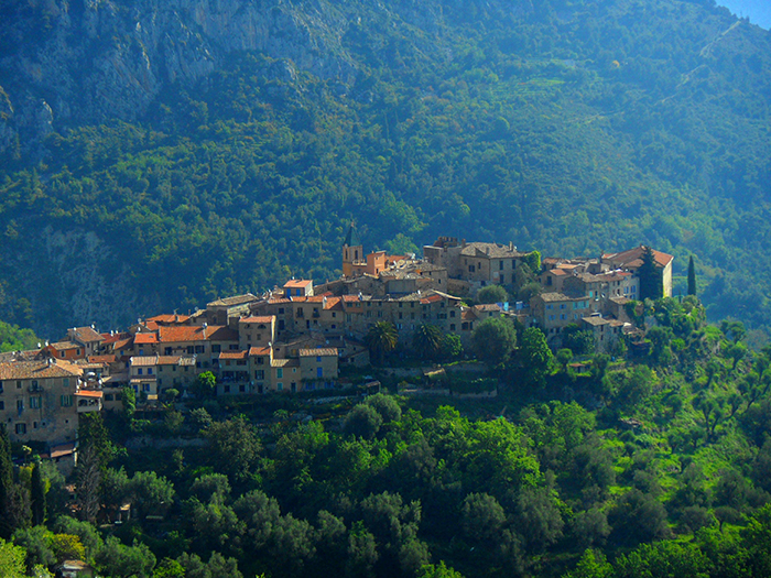
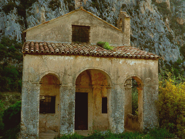
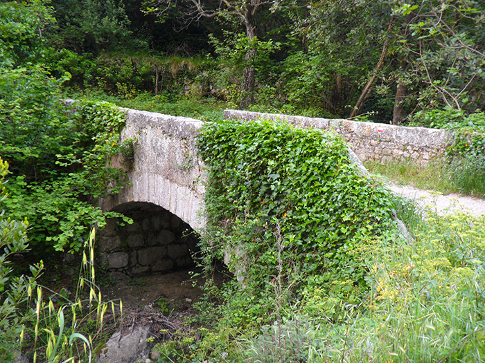
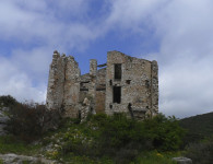
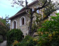
Eventually the village of Gobio begins to appear above one’s head. In the bottom of the valley there is a one span small bridge. Turn left, cross the stream and meander up arriving at a very old chapelle St Lazare on the left.
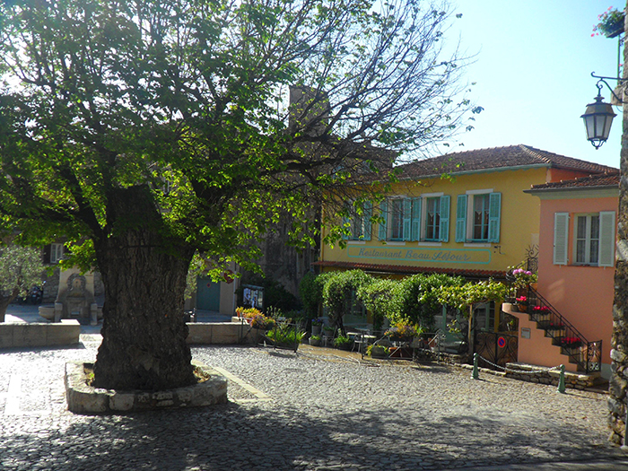
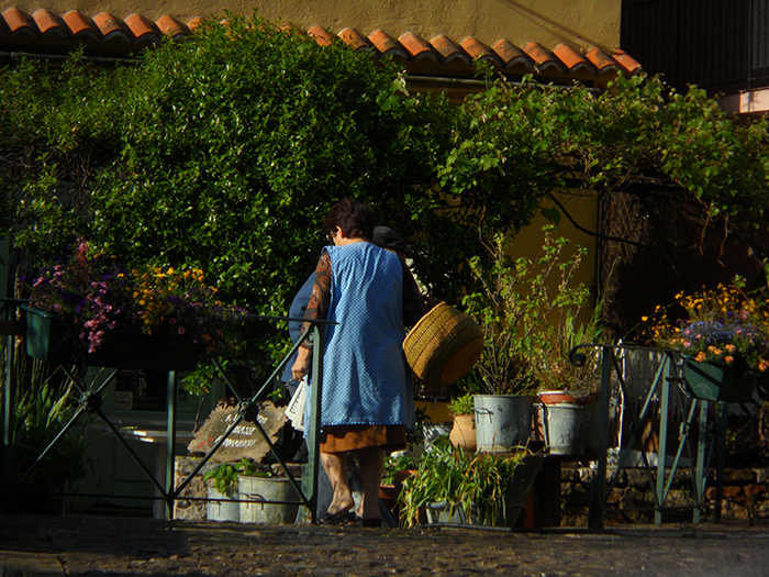
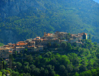
The tarmac road infront leads you into the village. At the T junction, turn left and walk down into a square with a 300 year old Elm tree at the entrance.
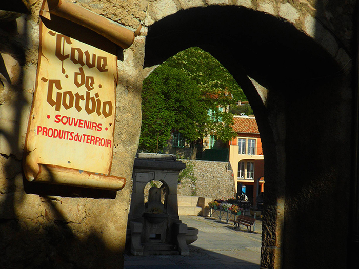
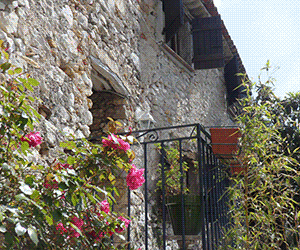
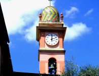
It is worth spending time in the village. There is an excellent cafe on the left, and an excellant restaurant on the right. A walk around this medieval village is a must! It is one of the perched villages in this department.
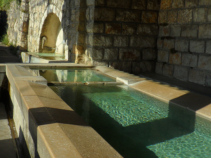
Return up the road, you entered the square by, and infront of a large wall take the left turn, walk past the lavoir (old public washing place) and very soon afterwards take the ascending path. Be careful not to miss it! If you arrive at the cemetery, you have gone too far.
The path soon arrives on a flat green park area, ahead is a road. Turn right and stay on the road until the GR 653A branches off on the left. Eventually infront is a barrier, and the road becomes a piste (a gravel road)
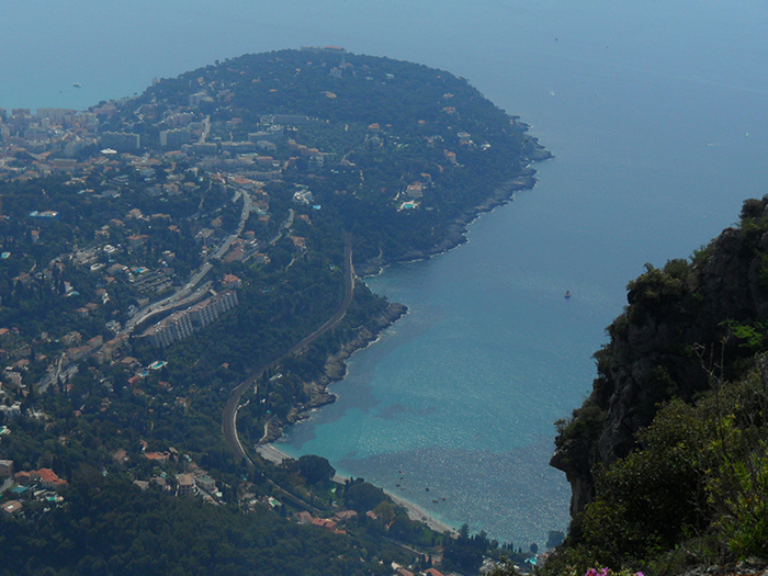
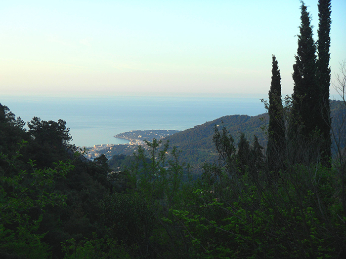
Go through the barrier and the views over Roquebrune Cap Martin and the Bay are breath taking, while Mont Gros is straight ahead.
You have a choice at this point, There is a small twisting path on the right. I would advise taking this path, it passes a pond where dipping the feet in is a good way to cool off and take a break. You can also fill up water containers here, before the final push upwards towards the hand gliding launch area.
Otherwise you can faithfully follow the GR 51 right around the head land and join up with the short cut described above. There has been much work around this area, and the signage has not kept up!
Make your way down to the tarmac road, do NOT take the first left, continue on the D153. Unfortunately this part of the GR 51 is mostly on the road.
You pass many large Pylons (signals or electricity?) also a TV station for Monaco which can be seen below. The farm down on the left is part of His Serene Highness Prince Albert’s Estate. Eventually one arrives infront of the Monaco Golf Club. Take the left fork and pass a sign Pont de Demoiselle.
Not long afterwards, look out for a well hidden path on the right. It is a rocky small path that twists and turns in a wood, finally coming out into open land where there is a view of La Turbie way below. The path finally emerges onto the D53.
Cross straight over, you enter La Turbie via the GR 51B descending into the town. Otherwise stay on the GR 51 turning sharp right on a minor road towards La Gorra.


No comments