Brief Overview of Section 5 La Manda to St Jeannet
It is possible to take the little local train from the Gare des Chemin de Fer de Provence in Nice (this is one stop on the tram from the main line station of Nice Ville) up the valley to La Manda. They run approximately every half hour.
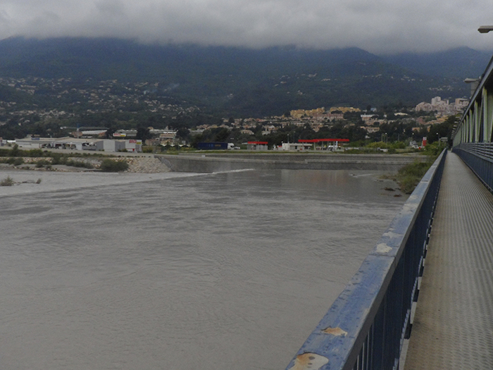
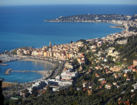
We alighted at La Manda (Colomars) and immediately crossed the bridge over the wide River Var, heading west. Please note this is not the Var Department.
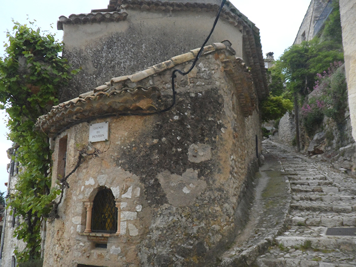
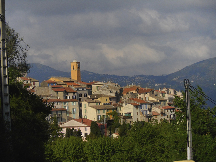
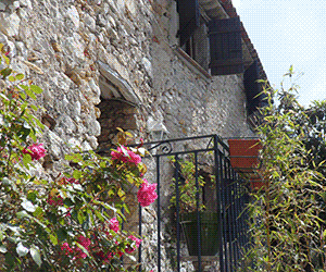
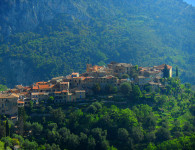
The GR 51 is well signed through the streets and over the round abouts, the main road gently rises, walk across the viaduct on the chemin de Provence. Soon one passes a sign to a Gites de France, then turning sharply right onto a tarmac narrow lane signed Chemin des Condamines. There is a wayside post here to Les Gattieres . The lane is steeply ascending. The GR 653A joins the GR 51 at this point. Be aware that the route then takes the first path, not well marked. It goes over a little stream, then up, up and up some lovely shallow stone steps. The view back down over the river valley is worth a pause! Eventually one comes out right under the village walls of Gattieres. To your left is an Orientation Table. Do NOT be tempted to follow the GR signs to the right down the Chemin du Puy….these belong to the GR 653, they have the Pilgrimage sign, blue and yellow. Instead turn immediately right as you come up onto the road, follow the walls around until you come to the D2210. Infront are cafes and shops. You may also like to take some time to visit the perched village, and the panoramic view point.
Continuing left on the road, over 2 roundabouts take the higher road ascending towards the Cemetery. Stand infront of the cemetery gates and you will see a waymarker partially hidden to the right on a path signed to St Jeannet. Take it! This path comes out onto another road, turn right (if in doubt always choose up!) As the road begins to level watch out for a right hand fork that leads almost immediately onto a lovely very rocky path through woodland. It is easy to follow, and again comes up to another road turn left, wayside marker No 19 here signed to St Jeannet. The road is a welcome level gradient, until the GR 51 is signed up a sharp right turn. Soon you will see a gravel path with a waymarker infront.
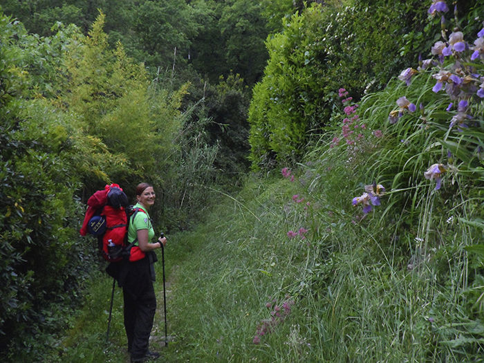
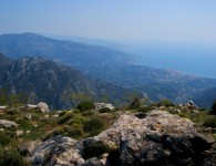
This path zigzags for a long stretch always ascending. The views of Gattieres and the valley are amazing, and at this time of year we saw many kinds of orchids. The path is well signed, and eventually levels out for a short time. Infront you will see a cement block construction (probably a pump house) you will have passed a path leading off to your right. It is worth taking a break at this point…..why?
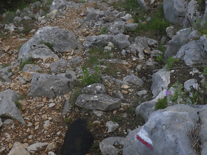
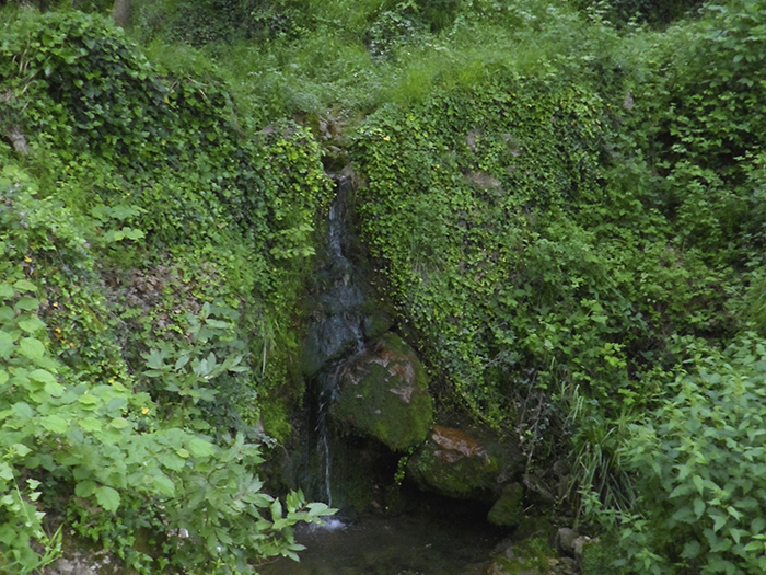
Immediately the path changes into a rock and boulder strewn steeply descending towards a small stream. If you are carrying a backpack, take care. Walking poles/battons are highly recommended to aid balance on this descent.
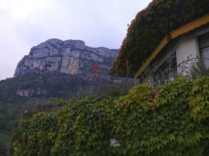
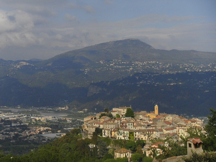
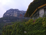
Once you have crossed this stream bed the going gets easier! The countryside opens out and the way gently descends until you eventually come out onto a back road leading into the village of St Jeannet with the huge cliff faces of the Baous de Gauge and St Jeannet on your right.
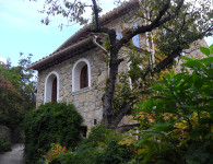
When you reach a main road D18 coming in from your left, turn right up into the higher village. A welcome cafe and terrace with lovely views is on your right. There is plenty of accommodation both in the higher and lower parts of St Jeannet. However, if it is a public holiday, book well in advance, St Jeannet is a very popular venue for walkers, climbers, tourists and locals from the coast. If you do have to overnight down below, the walk down through the streets is lovely but steep. You may prefer to get the local bus up and down.


No comments